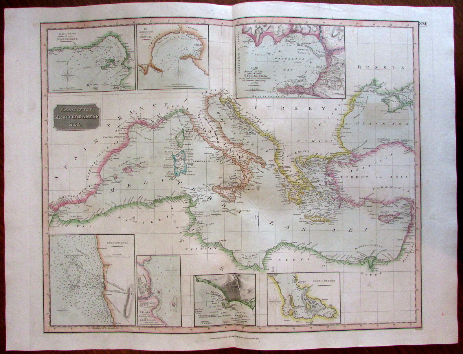
Mediterranean w/ naval war-related harbor insets Gibraltar 1817 Thomson map

When you click on links to various merchants on this site and make a purchase, this can result in this site earning a commission. Affiliate programs and affiliations include, but are not limited to, the eBay Partner Network.
Mediterranean w/ naval war-related harbor insets Gibraltar 1817 Thomson map:
$159.90
Mediterranean w/ naval war-related harbor insets Gibraltar 1817 Thomson map Mediterranean w/ naval war-related harbor insets Gibraltar 1817 Thomson map
CHART OF THE MEDITERRANEAN SEA.
(Coasts of Spain, France- Italy- Balkans- Greece- Turkey- North Africa).
Issued Edinburgh, 1817 by Thomson.
Engraved by Neele. Printed by Ramsay.
Large, detailed and very attractively engraved early 19th century folio sheet map. With pleasing original outline hand color.
Includes harbors insets of Marseilles, Genoa, Gibraltar, Smyrna, Algiers, Algeziras, Leghorn. Algiers & Gibraltar harbor insets focus on then very recent naval battles.
Nicely detailed and well presented visually.
In VG to VG+ condition. Map displays a touch of light minor offsetting which in no way detracts visually.
Overall, remaining clean and well-preserved, fine map for display.
A pleasing large format early 19th century map.
Sheet measures c. 28\" W x 21 1/4\" H.
Engraved area measures c. 23 1/2\" W x 19 1/4\" H.
Folio. Original fold line as issued.
Tooleys Dictionary of Mapmakers , vol. 4, p. 271
[R19053].
Mediterranean w/ naval war-related harbor insets Gibraltar 1817 Thomson map:
$159.90
