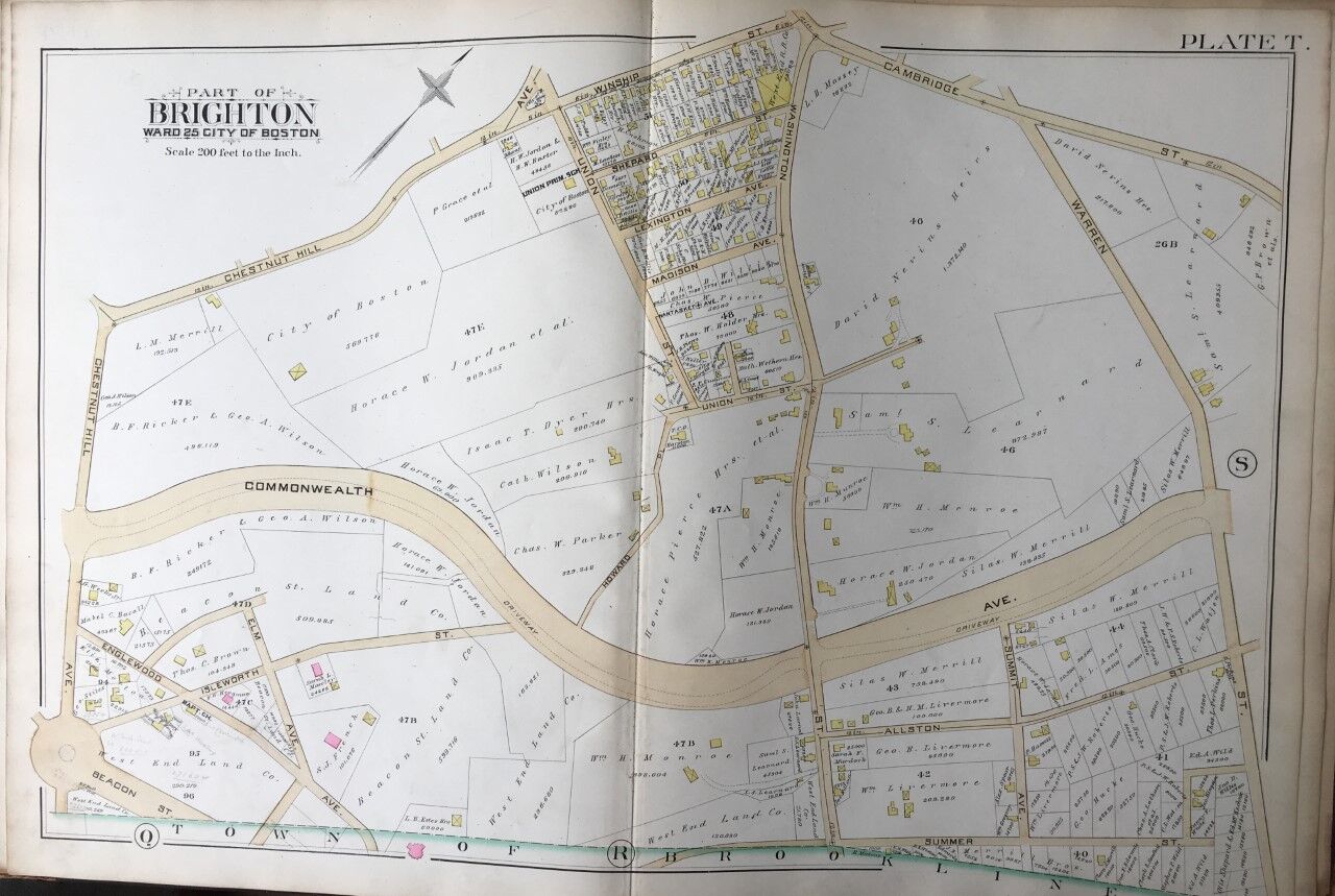
1888 G.W. BROMLEY BRIGHTON-BOSTON, MA UNION STREET PRIMARY SCHOOL PLAT ATLAS MAP

When you click on links to various merchants on this site and make a purchase, this can result in this site earning a commission. Affiliate programs and affiliations include, but are not limited to, the eBay Partner Network.
1888 G.W. BROMLEY BRIGHTON-BOSTON, MA UNION STREET PRIMARY SCHOOL PLAT ATLAS MAP:
$149.95
This is an original 1888 G.W. Bromley, Plat Atlas Map of Brighton-Boston, Massachusetts. It includes Union Street Primary School. It measures20\" x 30\".
Plate T: coversfrom Winship St./Chestnut Hill Ave./Cambridge St. to Summer St. and from Chestnut Hill Ave. to Warren St.
Each color represents the type of structure. Pink is Brick, Brown is Stone and Yellow is Wood. White Box with an X = Stable or Shed. See key for what all symbols indicate
I am selling my collection of rare maps. If there is an area or street address of Brooklyn, Manhattan, Queens, Staten Island, Bronx, Long Island, Newark, Cleveland, Boston, Philadelphia, Elmira, Pittsburgh, Rochester, Toledo and others that you might be interested in. I have insurance maps from 1880 to mid-1950s. Looks great framed! Be sure to add me to your favorites list!
1888 G.W. BROMLEY BRIGHTON-BOSTON, MA UNION STREET PRIMARY SCHOOL PLAT ATLAS MAP:
$149.95
